


 Shkruar nga Pamfleti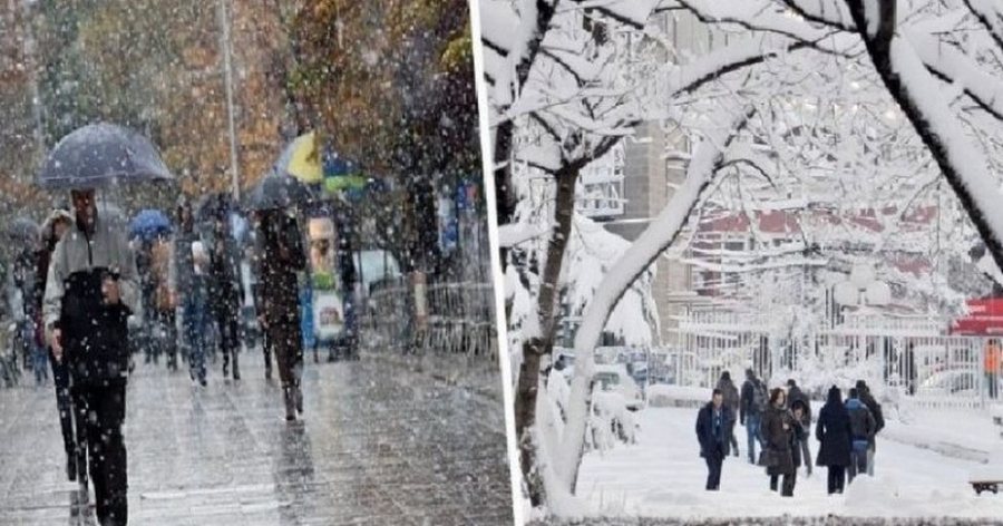
The cyclone that will arrive this Saturday evening will continue through Sunday and into the early hours of Monday morning.
According to the Military Meteorological Service, it is expected that cold and wet air masses, originating from the northwest, will enter the country.
There will be dense clouds and occasional rain, of low and mostly moderate intensity, but in the south and mainly in the Western Lowlands, the precipitation will be of high intensity up to the form of showers. These precipitations can be problematic mainly in urban areas.
At altitudes above 700-800 meters, snowfalls of low and medium intensity are expected. Above 1000 meters, snow storms are also expected.
Due to this cyclone, it is expected to have intense wind, with a direction from the south quadrant and an average speed of up to 10 meters per second, while along the coastline and valley areas, the wind is expected to gain speed of up to 25 meters per second. The waves in the sea will also be high, of force 5 to 7.
But, starting from Monday and on the other days of the week, we will have clear skies and few transitory clouds. From Sunday onwards, temperatures in maximum values are expected to drop to 16 degrees Celsius, while in minimum values they are expected to drop to -9 degrees Celsius in mountainous areas, while in low and coastal areas to -2 and 0 degrees Celsius.








Lini një Përgjigje