


 Shkruar nga Pamfleti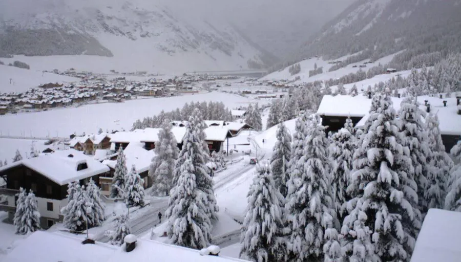
The new low-pressure system that is now entering Italy, in addition to heavy and repeated rainfall in many regions, will bring snowfall to some areas of the Alps, considered "exceptional" by experts.
In fact, during the Christmas week that has just begun, white precipitation could fall every day until next Sunday, with final accumulations exceeding two meters.
What will happen?
The weather front will be fed by cold currents of polar origin: the contrast with the milder and more humid air released from the Mediterranean will create the perfect mix for an intense cyclonic vortex, warning of heavy rains and snowfalls in the plains and heavy snowfalls in the mountains for several days. Therefore, this will not be a single event, but a prolonged period of bad weather.
"An extraordinary amount of snow is coming, one of the most abundant in the last 25 years!" reports meteorologist Matta Gussoni of Ilmeteo.it.
The Western Alps in particular will potentially see record snowfall. "The latest updates confirm the possibility of snow for 7 consecutive days in places such as Prato Nevoso and Limone Piemonte (Cuneo), Sestriere (Turin) and Courmayeur (Aosta)," adds the expert, confirming approximately two meters of accumulation between 1,400 meters and 2,500 meters above sea level: above this altitude there is talk of up to four meters of fresh snow.
"In some mountainous areas, the possibility of an exceptional event cannot be ruled out, which could become a record for the period and the affected areas, both in terms of the amount of snow and the persistence of precipitation."
There will also be a lot of snow in the Ligurian Alps, and it will snow, but not with such accumulations, also in the central-eastern Alpine sectors, especially starting from Wednesday, December 24 and at lower altitudes starting from 6-700 meters. However, in the Apennines, white flakes will fall above 1,500 meters.








Lini një Përgjigje