


 Shkruar nga Pamfleti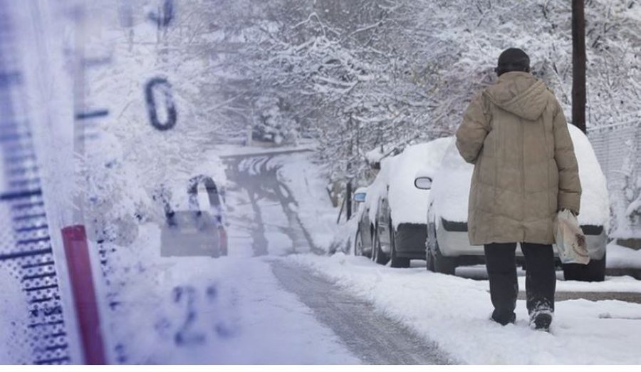
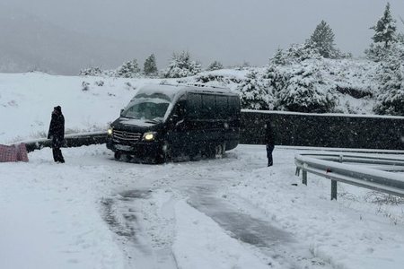
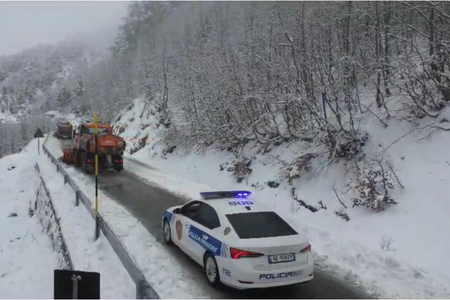
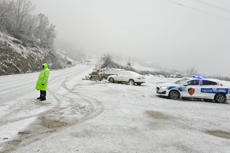
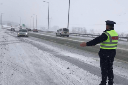
The entire territory of our country has been affected by bad weather since yesterday evening, where the north of the country is covered by snow and the central and southern parts by heavy rain.
Meteorologist Hakil Osmani spoke about the weather changes that will accompany us during the next week.
The meteorologist has stated that from tomorrow we will have an improvement in the weather, but we will have a significant drop in temperatures, causing light snowfall in the central to coastal areas such as Vlora and Saranda.
"The entire territory has been affected by the rains, where currently the rains are focused in the central areas, from the Drin River down to Osum, they are expected to be moderate and locally intense. The rain will continue until noon and then it is expected to move to the eastern and southeastern areas where it is expected to rain and not only. In the midday hours, we have a significant drop in temperatures, causing these temperatures to create opportunities for snowfall in all the northern areas, but also in the central areas, it is expected that there will be little snowfall from tonight until tomorrow morning. While in the southern areas, rains of medium intensity will continue during the evening and late at night, they are expected to convert to snow. Snowfall is expected in all the south-eastern areas from Librazhdi to Saranda, and in the early hours of Sunday we will have snowfall at 400-500 meters above sea level, including Gjirokastra and the Vlora region. . Fortunately, Sunday brings an improvement in the weather conditions in the northern and central areas, where it is expected that during the afternoon we will have an improvement in the southern areas, but we will have a significant drop in air temperatures.
On Sunday morning, a value of -5 degrees Celsius is expected in the inhabited city, as well as in the Western Lowlands, it is expected that we will have a significant drop in temperatures, bringing it to 0 or -1 degrees. This sudden drop will create frost on the road axes not only in the mountainous areas but also in the Western Lowlands. As for the wind, today will be problematic and it will go up to 65 km/h causing us to have a rough sea. The strong wind means that the temperatures will feel even lower.
So, starting from Sunday and until Thursday, it is expected that our entire territory will be under the influence of clear weather, low temperatures will be present until Monday and Tuesday, where on Tuesday we will have an increase in temperatures up to 2 degrees," the forecaster declared.




Lini një Përgjigje