


 Shkruar nga Pamfleti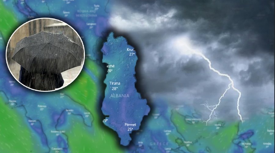
Moist air masses detached from several deep pressure centers originating from the Iceland cyclone will cause our country to experience unstable atmospheric conditions this weekend.
Clouds will not be absent, even in occasional intervals of clearing.
Rainfall will be present from the first hours of the 24-hour period, with low and locally average intensity.
In the afternoon hours in short time intervals in the Northwest of the country, precipitation is predicted with medium and locally high intensities in the form of storms, accompanied by electrical discharges and hail.
On Sunday, the rainfall will decrease in intensity, but will continue to be occasional in a large part of the territory in the form of local thunderstorms from the early hours of the morning.
In the northwest, precipitation is predicted with intensity to medium in the form of rapid showers.
Snowfall in the Alps is predicted in the form of snowstorms, while on the mountain tops in the northeast and southeast of the country they will be of low intensity.
It is worth emphasizing as intense and relatively problematic the element of the wind with direction from the south square 2-9m/s, while on the coast it reaches a speed of up to 17m/s accompanied by waves of force 2-5 front.







Lini një Përgjigje