


 Shkruar nga Pamfleti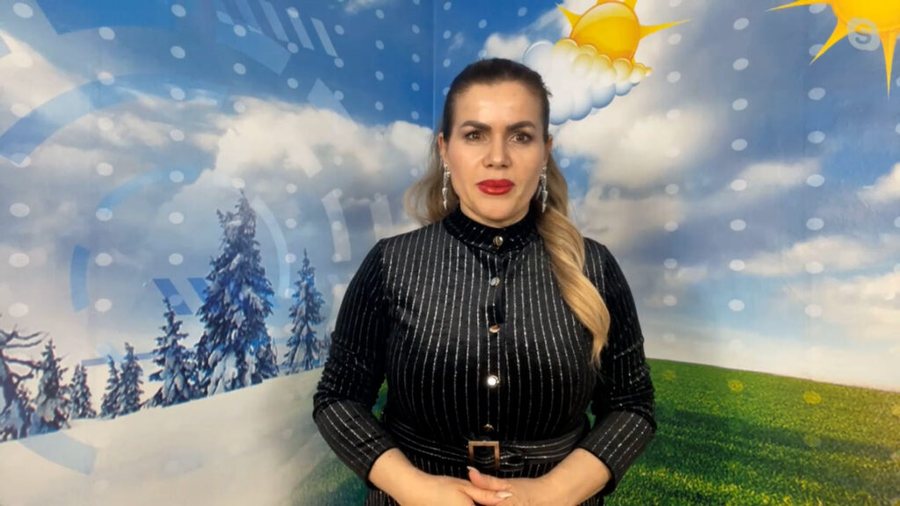
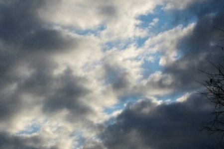
The weather landscape of the week will continue at the end of it. Meteorologist Lajda Porja says that clear skies and cloudiness will continue to be present. Precipitation will predominate mainly during the second part of the day, but isolated precipitation remains characteristic throughout Friday and Saturday.
"The day has started with showers, clouds, the clouds will be present mainly in the second part of the day. This afternoon we will have clouds, occasionally developing them, we will also have precipitation. The precipitation will be in small amounts where mainly the coast and a good part of the western lowlands will have more moments with raindrops, isolated showers will be mainly in the eastern extension, however even in the mountainous areas the precipitation will be of low intensity", said Porja.
Sunday will increase the intensity of precipitation and its spread throughout the territory. At the same time, it will also cause a decrease in temperatures, where in mountainous areas they will even record 0 or negative values. According to Porja, the next 2-3 days will have winter nuances and it is a weekend with unstable weather.
"As for Saturday and Sunday, Saturday will have more clear skies, less cloudiness, there will be precipitation only in the center and southern edge. It will be Sunday that will increase the cloudiness and precipitation throughout the territory. In fact, isolated showers are expected that will be mainly in the center and south. Librazhd, Elbasan, Berat, Fier, Tepelena, Gjirokastër will have them and the first part of the territory will be in the morning with alternating clear skies and cloudiness, the second part of Sunday will be with showers in the south and with little precipitation in the rest of the territory. Heavy precipitation returns on Sunday. It will mainly be in the northeastern edge and there will be less in the southeast of the country.
"Since the thermometer fluctuates 3-4 degrees today, the maximums today are 20 degrees, from Saturday a slight drop and a more pronounced drop on Sunday where the thermometer drops to 0 degrees. So the temperature with winter nuances even though we are in the second month of spring. It is predicted that 0 and -1 degrees will be in the mountainous areas and the maximums will be around 19 degrees. We will experience at least 2 or 3 days with winter nuances, temperatures even in negative values, although they will be short-term because from the middle of next week we will return to spring temperatures again. However, I would also specify this weekend as unstable because we will not have sunny days from morning to evening, but sunny mornings and the second part with clouds and precipitation, as we have experienced throughout this week," said Porja.






Lini një Përgjigje